OVERVIEW
Region :- Uttarakhand
Duration :- 6 Days
Grade :- Easy To Moderate
Max Altitude :- 12,171 Ft.
Approx Trekking Km :- 29 Kms
The Best Ridge Trek With Endless Panoramic Views
First up, ridge treks are extremely uncommon in our country. There are hardly a handful. And the Phulara Ridge Trek is already looking to be one of the best.
While the Phulara ridge is a huge highlight, there are at least 4 other things to look out for on this trek. I’ll get to those in a bit.
First, let’s talk about the ridge, because from what our explorer, Rajat Saya says, “nothing beats it!” He explored this trail in April 2017 and cannot stop singing praises of it!
The Best Ridge Trek With Endless Panoramic Views
This trail starts off from Sankri, which is in western Uttarakhand, almost touching Himachal. If you are familiar with Kedarkantha, it has the same base camp, Sankri. However, the trail to Phulara ridge heads in a different direction. From Sankri, over two days and two camps, you climb up to the Phulara ridge. That’s when the fun begins. You traverse this ridge for a long time — it’s almost an entire day’s trek. “It’s a great feeling to be standing up there! There are snow-capped mountains at eye level. Clouds float at your feet. Below you, the ground sweeps down on either side. You’re absolutely on the edge and you walk along this stretch for nearly 4-5 hours! It’s nothing like I’ve experienced before,” says Rajat. Apart from the ridge itself, he says there are lots of things to look out for on this trek.
First, of course, the mountain views from the ridge
While walking on a ridge is an experience in itself, being able to see big mountains at eye-level is something else! It’s rare to be at such a high point for so many hours on any trek. You might know that if you have done a summit climb. You stand at the summit for perhaps 20-30 minutes, from where you get great views of the mountains around. On this trek though, you’re at a high point (around 12,000 ft) for nearly 4-5 hours, and the panoramic view stays with you throughout! “For me, it felt like the mountains were trekking along with me. I was hoping it would never end,” says Rajat.
Next, the forests
“There are very different forests for such a short trail. You walk through oaks and pines on the first day. And on the last day of the trek, you see different kinds of oaks, pines, dwarf rhodos, silver birches and maples,” says Rajat. “And there was nobody else on the trail. I had the forest all to myself. I felt like the chirps, the whistles, the rustles were all saved just for me,” he adds with a smile. With nobody else on the trail, forest walks are always a pleasure!
Then the alpine meadows of Pushtara
Once you’re out of the forest, the alpine meadows suddenly come onto you! Folds and folds of carpeted green hills spread out as far as your eyes can see. “The meadows seemed endless! I remember thinking how there was so much packed into such a short trek!” And Rajat went when the meadows were just beginning to flower — in April. And he camped right in the middle of it. This is where you’ll be camping too. Finally, the birds on the trail When we asked Rajat whether he spotted birds on the trail, he just had one thing to say. “What birds? I spotted not one not two, but 11 Himalayan monals on the trail.” Monals are very shy birds. It’s super rare to spot them. Monals, next to peacocks are the most colourful birds you’ll ever see. He also spotted barbets, woodpeckers, Himalayan whistling thrushes, drongos and many other birds whose names he wasn’t sure of. Enough said. We hope you can be one of the first trekkers to set foot on this trail. It’s a trek with a rare highlight of a ridge-walk. Which, frankly, is one of its kind in India. It’s a 6 day trek, of easy-moderate difficulty. It’s perfect for first timers and an unusual trail for experienced trekkers.
Short Itinerary
Day 1:Reach Sankri
Day 2: Sankri to Sikolta
Day 3: Sikolta to Bhoj Gadi
Day 4: Bhoj Gadi to Pushtara via Phulara ridge
Day 5: Pushtara to Taluka. Drive to Sankri
Day 6: Sankri to Dehradun
Detailed Itinerary
Day 1 - Drive from Dehradun to Sankri
Sankri, base camp for this trek, is a small but pretty village with 250 houses. A few dhabas and shops make up the commerce scene in Sankri. In peak season, it is usually bustling with trekking activity as it is the basecamp for many treks – Kedarkantha, Bali Pass and Borasu Pass. The village offers a beautiful view of the sun setting behind the greater Himalayas. The peaks of Swargarohini shimmer in the evening sun, standing tall over the ridges beyond Sankri.
The drive to Sankri will take you through Nainbagh, Naugaon, Purola, Jarmola, Mori Naitwar (a left turn from Naitwar will lead you to Dhaula, which is the base camp for Rupin Pass and Bharadsar lake trek), and finally Sankri.
Altitude: 6,397 ft (1,950 m)
Time taken: Sankri, the base camp, can be reached in 8-10 hours from Dehradun. Transport will be arranged from Dehradun Railway station at 6.30 am.
Day 2 - Sankri to Sikolta
Altitude: 6,397 ft (1,950 m) to 9,300 ft (2,835 m)
Time taken: 5 hours
Trek gradient: Moderate. Ascending trail throughout.
Water sources: A small stream near the broken bridge, around 3.5-4 hours into the trek
The initial ascent is through the lovely pine forest. The trail is wide and marked well. An hour and half of ascent on the trek, you cross a small concrete bridge. Keep your ears and eyes open on the ascent as you spot a lot of birds on the trial. Right from barbets, drongos, treepies, woodpeckers and a lot more. Later, you cross a broken dhaba on the trail. Follow this trail for another 30 mins. This is where you come to the first clearing. It is known as ‘Jainol Thatch’.
Another 10 mins of ascent, you come to the second prominent clearing. This place is called ‘Marikoda’. As you look to the left, one can see the peak of Dhunda. The Phulara ridge can also be spotted from this point.
There are two forks in the trail now. If you follow the trail straight ahead, it’s the one to the famous Juda Ka Talab. You can either follow this to JKT and then take a left from the lake or the better exciting trail which is to explore the trail to the left from this fork. This takes you through the lovely pine forests. The aroma of the Himalayan Cedar or Deodhar Cedar is filled around the area as your legs enjoy a soft crunch through the forest floor. You will hear the tiny bees buzzing, resonating all around the forest. A nice half an hour on the forest path, you reach the main trail. This the trail which comes from JKT. Take the left over here and follow the trail in the forest.
You will be surprised to see a ridge to your right. The sun light cuts across the canopy beautifully here. You start seeing snow-capped peaks being visible now to the left. You will pass a small broken bridge. A stream is flowing down the hill where you can fill your water bottles.
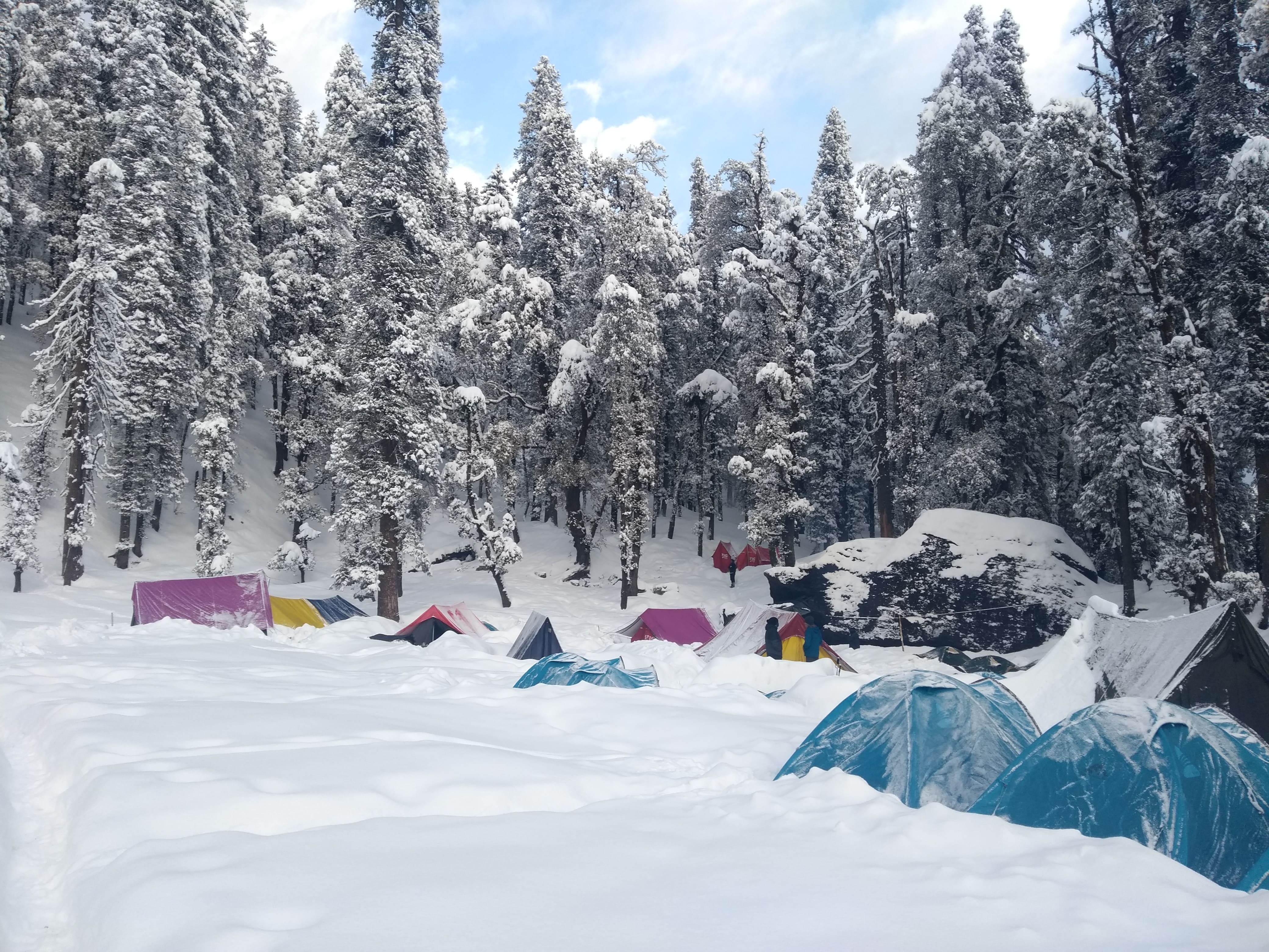
The ascent continues from here for another 40 minutes. The Trail has Yellow Marsh Marigold and purple lilies blooming around. You come across a lovely large rock – The Gecko rock. It resembles the shape of a lizard having its head held high. The trail takes the right which leads to clearing of ‘Sikolta’. A nice meadow patch with broken Gujjar huts. There is another good clearing to the left where you can pitch your tents. To the right, you have the water source. The streams will be running with water post monsoon.
Landmarks on the way:
A small bridge crossing in the ascent to Marikoda
Marikoda is the second clearing on the trail
A broken bridge where the water flows down.
The meadow of Sikolta
Day 3 - Sikolta to Bhoj Gadi
Altitude: 9,300 ft (2,835 m) to 11,600 ft (3,536 m)
Time taken: 4 hours
Trek gradient: Easy-moderate. Ascending trail throughout.
Water sources: A stream near the bridge, around an hour into the trek.
A good ascent from Sikolta for about 30 minutes through the forest patch. The forest is a bit dark and dense. Watch out for few trees fallen down on the trail. You spot a bridge at down along the trail. A small descend to the bridge and a sharp ascend through a small section of the landslide terrain. This section is just about 100 meters. A nice stream is flowing underneath the bridge where you can fill water. The bridge and the stream separate the valley. Continue the ascend for another 15 minutes to reach a bigger clearing known as ‘Karsu Thatch’. The grass is filled with yellow flowers.
As you enter this big clearing, to the right you see the Kedarkantha peak. You see the decline in the tree line from here. You need to take the gradual ascent and keep to your left. The ascent is a gradual one for another 30 minutes. The rohdo type trees with some Bhoj trees are filled on the trail now. The flowers bloom after the monsoon. The clearings start to open up and you enter the lush green meadows. A treat for your eyes and legs, one can enjoy walking on the green cover now.
The Dhunda Top is the highest point of this hill. A small gradual ascent of 15 minutes and a trek for another 10 minutes on the trail to the left, you enter a nice flat meadow patch. This will be your campsite. You have a stream flowing down the valley. This will be your water source.
You can go for an excursion/acclimatization walk to the top of the hill. It’s a long ridge at the top which can take you all the way to Kedarkantha as well. From here you will see Purola region, the peaks of Kedarkantha, Swargarohini, Devkyara, Lekha Top, Vijay Top and few others. The sunset, rising of the moon and early morning sunrise is a beautiful spectacle to watch out for from this campsite.
Landmarks on the way:
Bridge after the forest patch
Karsu Thatch clearing
Green meadows of Bhoj Gadi
Day 4 - Bhoj Gadi to Pushtara via Phulara ridge
Altitude: 11,600 ft (3,536 m) to 9,500 ft (2,896 m) via 12,127 ft (3,696 m)
Time taken: 6 hours
Trek gradient: Easy-moderate. Ascend trail upto the ridge. Flat trail at the ridge followed by descent to the Pushtara.
Water sources: None. Carry at least two litres of water from Bhoj Gadi
The top of the ridge can be seen from the campsite. To start the day, there is a nice ascent. It takes about 45 minutes to reach the top of the ridge. A lot of Himalayan Monals can be spotted on this trail. I saw seven Monals on this day and when approaching the ridge.
The view from the ridge is amazing. The view of the snow peaked mountains of 250 degrees. You can see the ridge going ahead with slight ascents to reach the end of this beautiful trail. As you are trekking, you feel the snow-capped mountains moving along with you.
Another hour of trekking, you come to the end of this trail where it takes a right turn. Few stones kept along the pathway, make you feel like you getting a grand entrance to view the majestic view. The peaks from right to left are Hanuman Top, Sarutal Top, DKD, Bandarpoonch, Kalanag, Swargarohini, Hata Peak(HKD), Ranglana, Devkyara valley, Lekha Top, Vijay Top, Kedarkantha. Take the right from this point where the trail leads. An intermittent signal of Vodafone can be caught at the top. You can see multiple descents and ascents one has to take. The base of Sarutal is where you need to cross.
The trail takes a bit of descent and follows a gradual ascent. To the right is a drop. In the distance across the tall pine trees, is the valley of Purola. This section is not possible to take during the winter months because of snow. This section also does not have water sources. Crossing the snow section during the month of April, May itself is a difficult, tricky section. It took about an hour and 50 minutes with snow. Without snow, it would take about 30 minutes to complete and cross the Sarutal section. Watch for wildflowers and Monals through this section.
Once you cross this valley, you enter the right side of the hill. Few big mountains right in front of you. Take the descent and keep to your right. You will be blown away by the vastness of Pushtara meadows. It’s on the edge and a beautiful place to set up your campsite.
If you cross this valley, you have Taloti. A medium sized gorgeous lake formed by the melting glaciers. Pushtara has a good amount of water to the right side. A small graveyard by the Gujjars can be seen gives a nice chill to the bones. A good place to come up with stories for the night.
Landmarks on the way:
Top of the ridge. Pathway with stones
A prominent right turn towards Sarutal valley
Day 5 - Pushtara to Taluka. Drive to Sankri
Altitude: 9,500 ft (2,896 m) to 7,953 ft (2,424 m)
Time taken: 5 hours trek + 1 hour drive to Sankri
Trek gradient: Easy-moderate. Descending trail all the way to Taluka.
Water sources: There is a stream just before you enter the forest, around 1.5 hours into the trek.
The trail would be a complete descent to the village of Thaluka. The first 30 minutes is the descent through the meadows. You see some broken Gujjar huts here. You see the trail coming from the Taloti valley to the right. Take the descent and join this trail. Keep descending and going towards the right. The tree line starts to increase. The floor is laden with beautiful yellow flowers. It feels like a bed to just lie down.
A descent for another 30 minutes, you enter the forest. Wide good trails entering the forest at first. The forest is a big one and is easy to get lost if you go off trail. Initially, trees are spaced with a good amount of light coming through the cover. Later big pine trees dawn over you. You seem like a tiny individual trekking in the big forest. You need to cross some trees which have fallen down on the ground. A troop of curious langurs stares at your trekking technique while they jump effortlessly from one tree to another.
Keep an eye to the right, you see a small village. You won’t be going to this village but gives you the reassurance of following the trail. The descent goes for about an hour and 30 mins through this forest. The last stretch of thick untouched forest and you hear few bells. You spot a herd of cows, goats grazing and also few logging activities indicating that you are close to civilization. Follow the same trail and you see a pathway and a collecting pipe from the stream. There is a big water tank and you see wooden huts with stoned roofing. This is the village of Tumrikot. A beautiful village walks for 30 mins and you reach the end of your trek. The small village of Thaluka has a couple of shops. You can see a clear marking for the Har Ki Dun trek.
Day 6-Sankri to Dehradun (Drive to 210km) (7/8hrs)
Have breakfast and leave early in the morning so you can reach Dehradun on time. You can have your lunch on the way.
Risk & Respond
High Altitude Treks?: Risk and Response A high altitude trek calls for an adventurous attitude, but embarking on an adventurous trip without calculating the risks is utter stupidity. That’s why we have listed a few risks and the response planned by Apex To Himalays to minimise or address the risks in the best possible way.
Risk: Altitude Before you start the trek, it is important to understand the implications of high altitude on your body. Be aware of symptoms of AMS (Acute Mountain Sickness) like mild headache, nausea and general discomfort.
Response: If you feel any of these symptoms, inform the trek leader on priority and follow his instructions. Every campsite has as stretcher, fully equipped first aid kit, oxygen cylinders to address the situation.
Risk: Weather Weather is unpredictable in the Himalayas. Though we are always observant about the changing weather, no one can guarantee a snowfall, rain or Sun. Do understand that your security is of utmost importance to us and we will not proceed any further from the campsite if the weather is not favourable.
Response: The decision of the Trek Leaders and Guides to proceed or wait for the weather to get better will be final.
Risk: Injuries Often, while trekking over difficult terrains, you might have minor injuries like leg sprain, bruises etc. Serious injuries like fractures or major cuts are very rare.
Response: All our Trek Leaders are Certified Wilderness First Aid responders. They are trained to handle emergencies and can tackle minor injuries with a well-equipped first aid kit. In case of serious injuries, the patient is carried on a stretcher to the nearest road-head and is led to nearest medical centre.
Risk: Lack of communication devices In the remote areas of the Himalayas, mobile networks do not reach. On a trek, one is cut off from the world of calls, SMSs or watsapps.
Response: We rely on walkie-talkies and runners to communicate between the campsites and the base camps.
What's Included
- Transport: Dehradun to Sankri and Return.
- Meals while on trek (Veg. + Egg).
- All necessary entry fees and permits.
- Accommodation:- Guest house, Home stay, camping during Trek.
- Mountaineering qualified & professional trek Leader, guide, cook and Support staff.
- First aid medical kits, stretcher and oxygen cylinder.
- Trek equipments: Sleeping bag, mattress, tent (twin sharing), kitchen & dinning tent, toilet tent, utensils and crampon (if required).
- Apex To Himalays Staff Insurance.
- Porters/mules to carry central equipment.
- Any kind of personal expenses.
- Food during the transit.
- Mules or porter to carry personal luggage.
- Insurance.
- Any kind of emergency evacuation charges 6. Anything not specifically mentioned under the head.
Excluded :-
How to Reach
By Air :-
Jolly Grant Airport is the airport serving Dehradun, located about 25 km from the city. There is a daily flight from Delhi to Dehradun. Come one day early if planning to come by flight.
By Train :-
Take the overnight train to Dehradun from Delhi
- Nandadevi Express - Train no: 12205 (Departure 11:50pm; Arrival - 5:40am)
- Dehradun Express - Train no: 12687 (Departure - 9:10pm; Arrival - 5:00am)
By Bus:-
There is regular bus service from Delhi to Dehradun, from Delhi to ISBT Kashmere Gate.
We would suggest you to take only government buses from ISBT Kashmere Gate. Private buses ply from outside ISBT and they are not trust worthiness.
Usually buses drop you at Dehradun ISBT. From there you have to come to Dehradun Railway Station
- Apex To Himalays Tata Sumo or similar vehicles will pick-up you from Dehradun Railway Station at 6:00am.
- Pick-up is included in the cost of the trek
- You will reach Sankri by 4:00 pm
- Food from dehradun to Sankri is not included in the trek cost
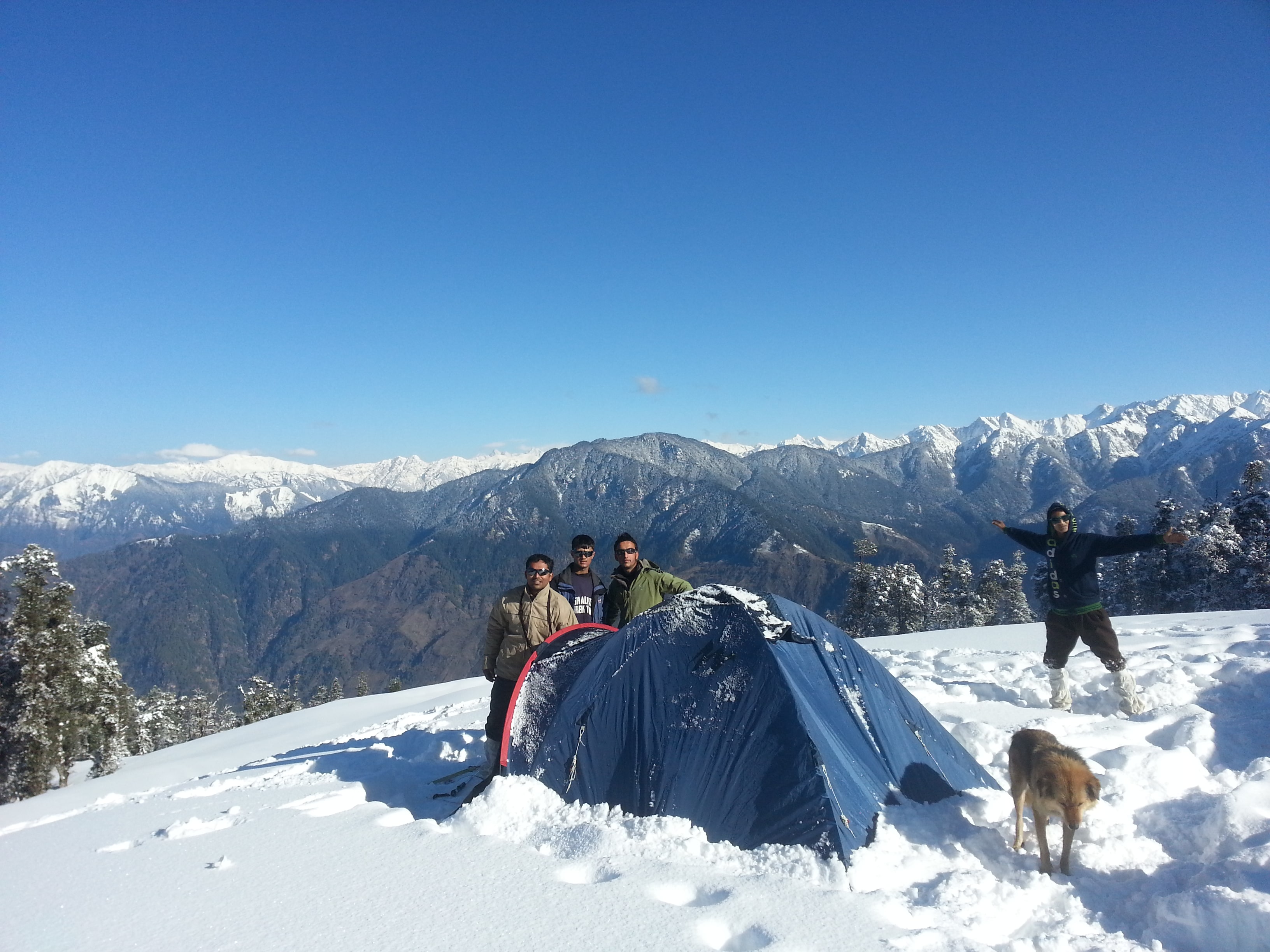
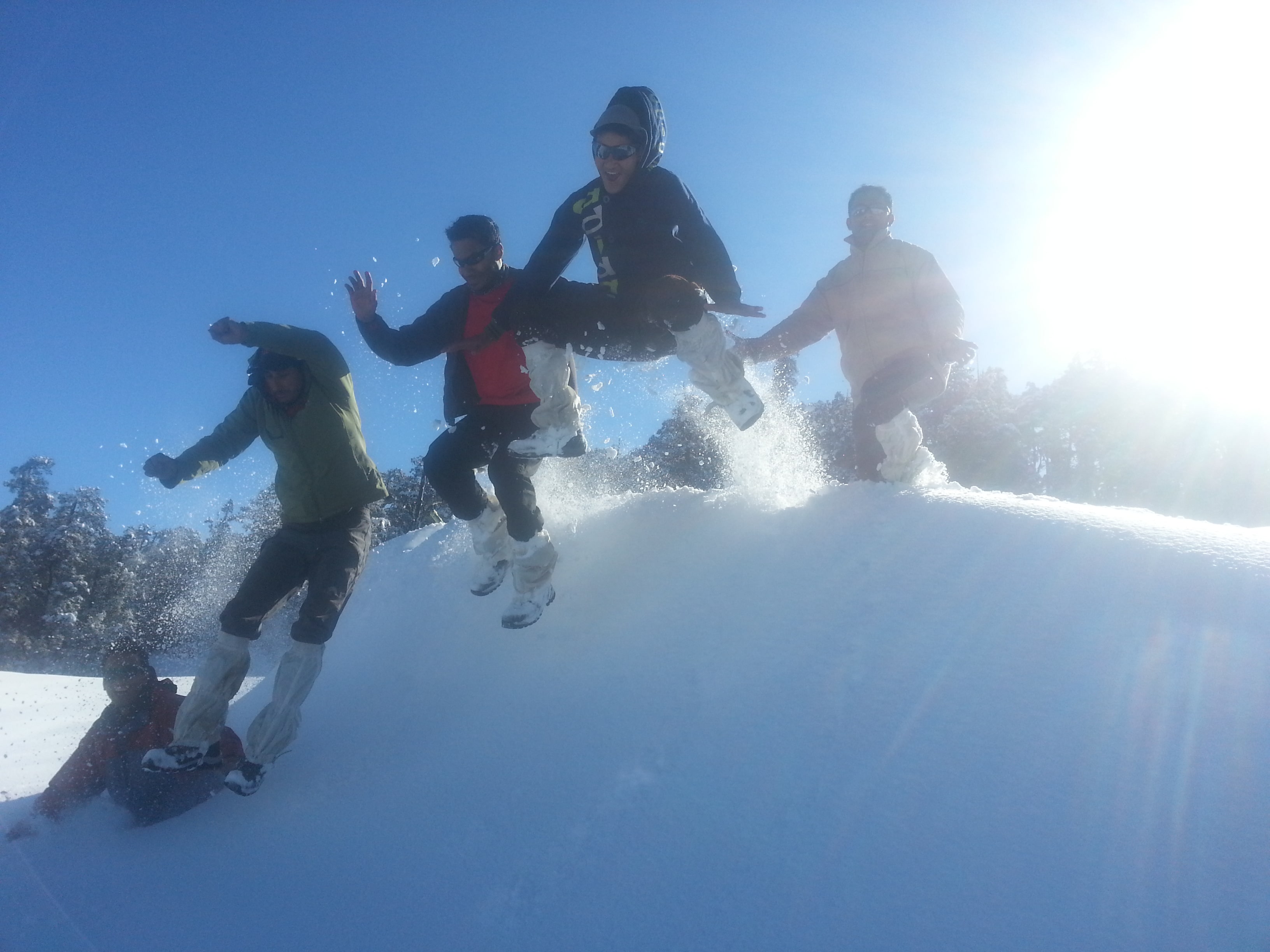
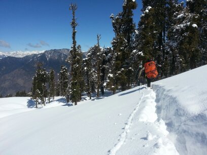
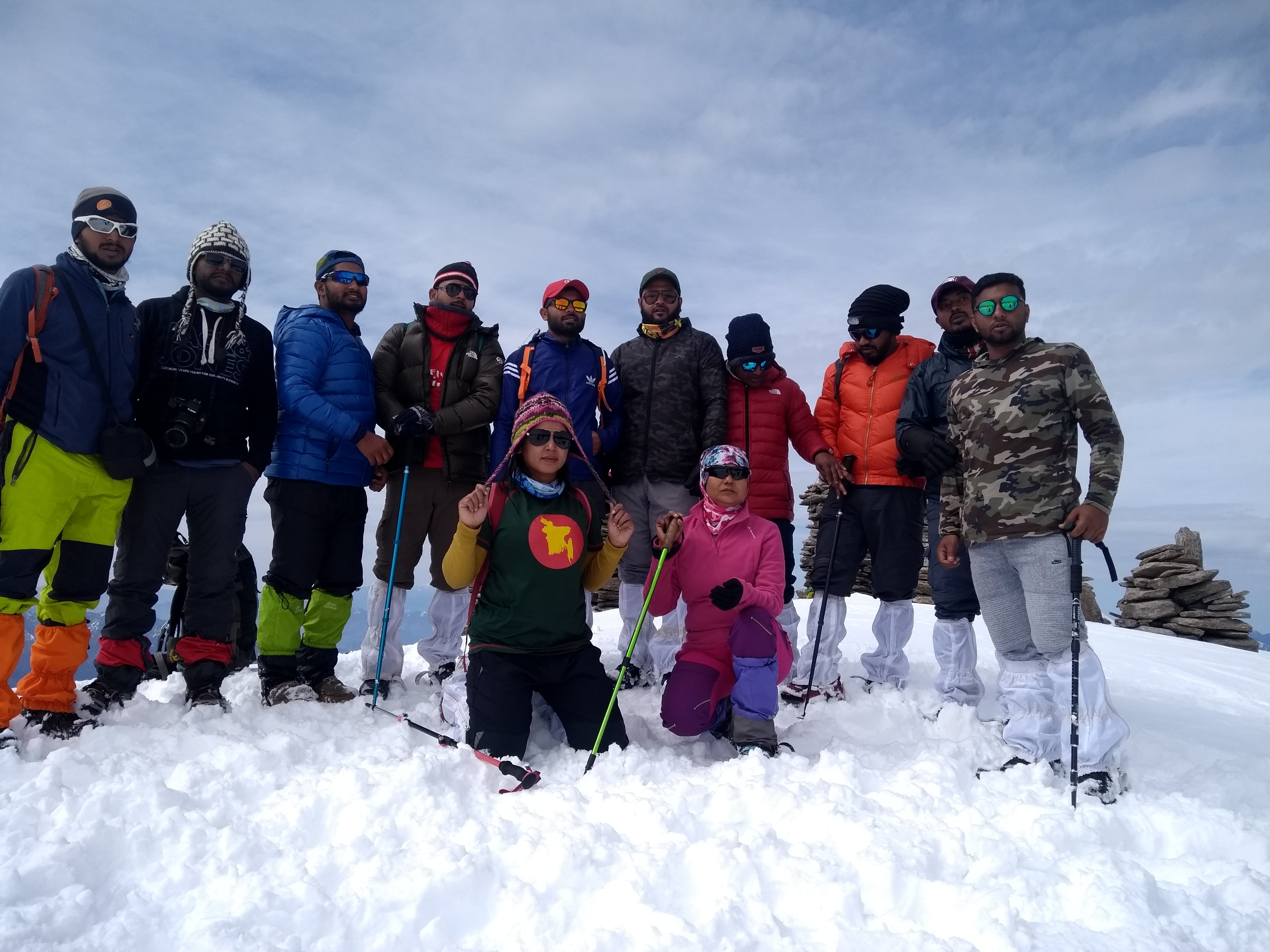
Photo Gallery


Quick Links
About Us
Photo Gallery
Enquiry
 Buy Online
 Buy Online
Tour Packages
Harki Dun Valley Balipass Trek Borasu Pass Trek Runsara Lake Trek Phulara Trek Kedarkantha Peak Trek Rupin Pass Trek Nag Tibba Trek Sarul Tal Trek Valley of flower Trek
 Camping with Bonfire
Adventure Activities Rafting Zip Line Rappelling Camping
Average Temperature: Summer temperatures: Day time: 8°C-15°C; Night time: -5°C-3°C